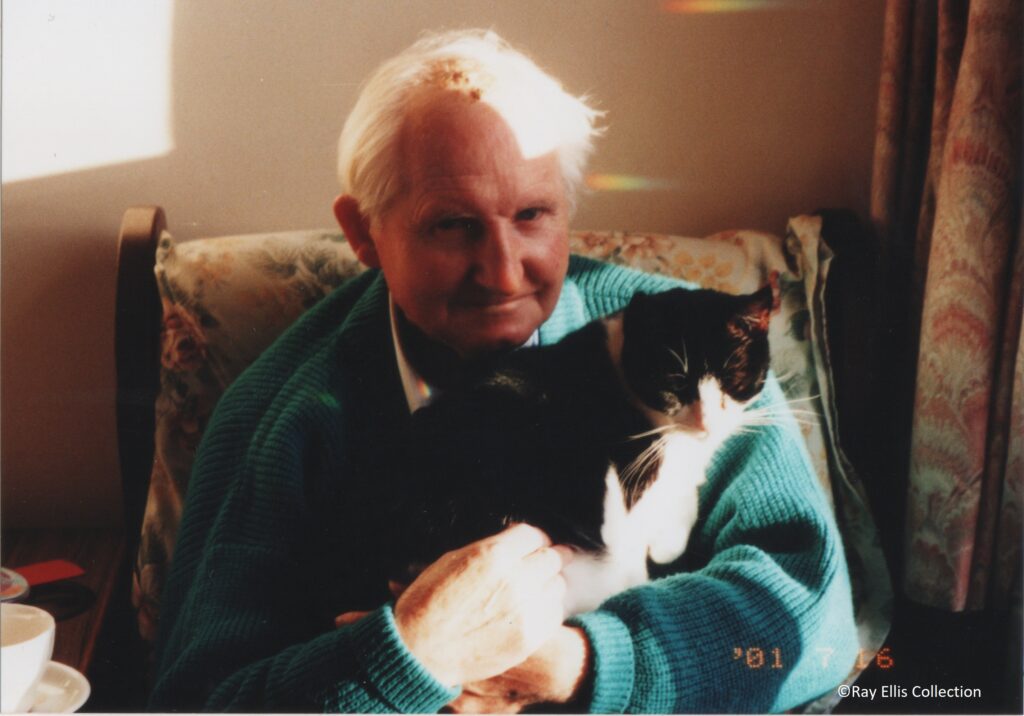
Ray at home with his cat.
Ray had lived in Easton all his life. He was a keen walker and was knowledgeable on our local wildlife. He enjoyed taking photographs and when he died on the 4th June 2019, he left behind a large collection of photographs. There were quite a few historic postcards and historic views of the village. A small number have been scanned in and made available to the Easton web site.
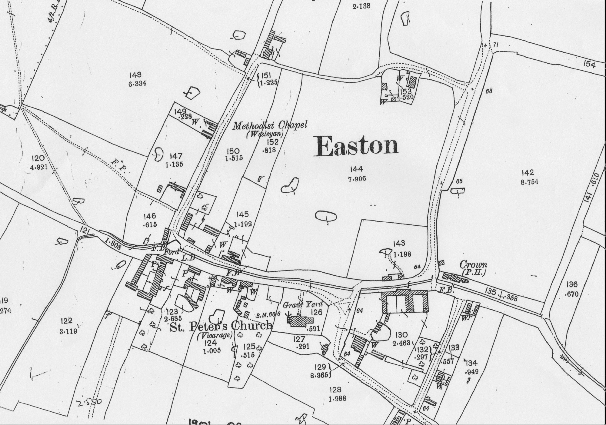
Map of Easton approx 1920s.
A view to Church Road before the bridge over the ford had been built. Date approx 1950s.
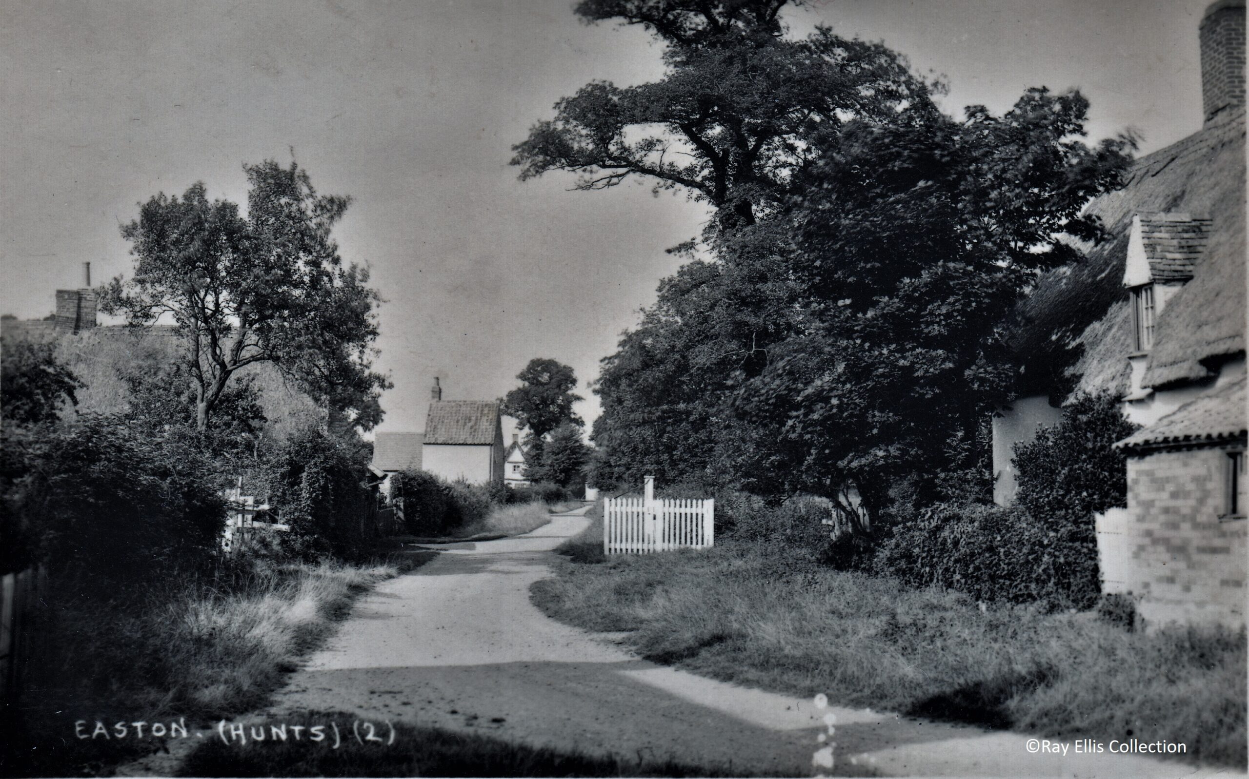
Chapel Lane, showing the new location of the village pump and the original Chapel Cottage in the distance on the left. Date approx 1920-1930.
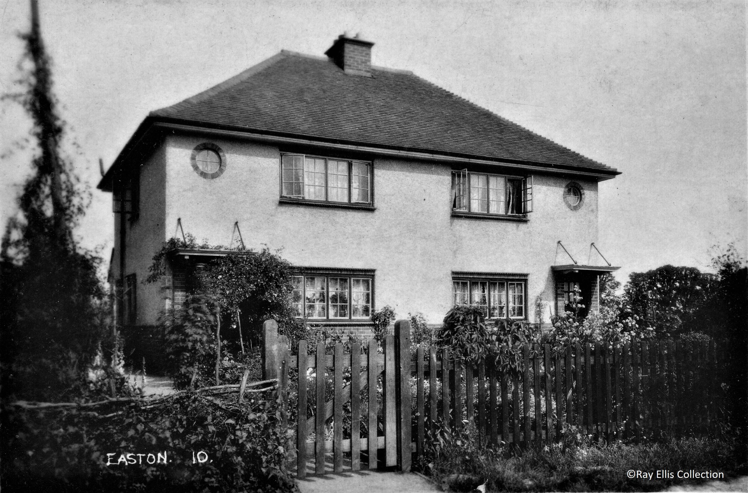
No.1 and No.2 Easton Road, were the first of a number of new houses to be built in the village from 1930 onwards.
The village green with Vicarage Cottage on the right.
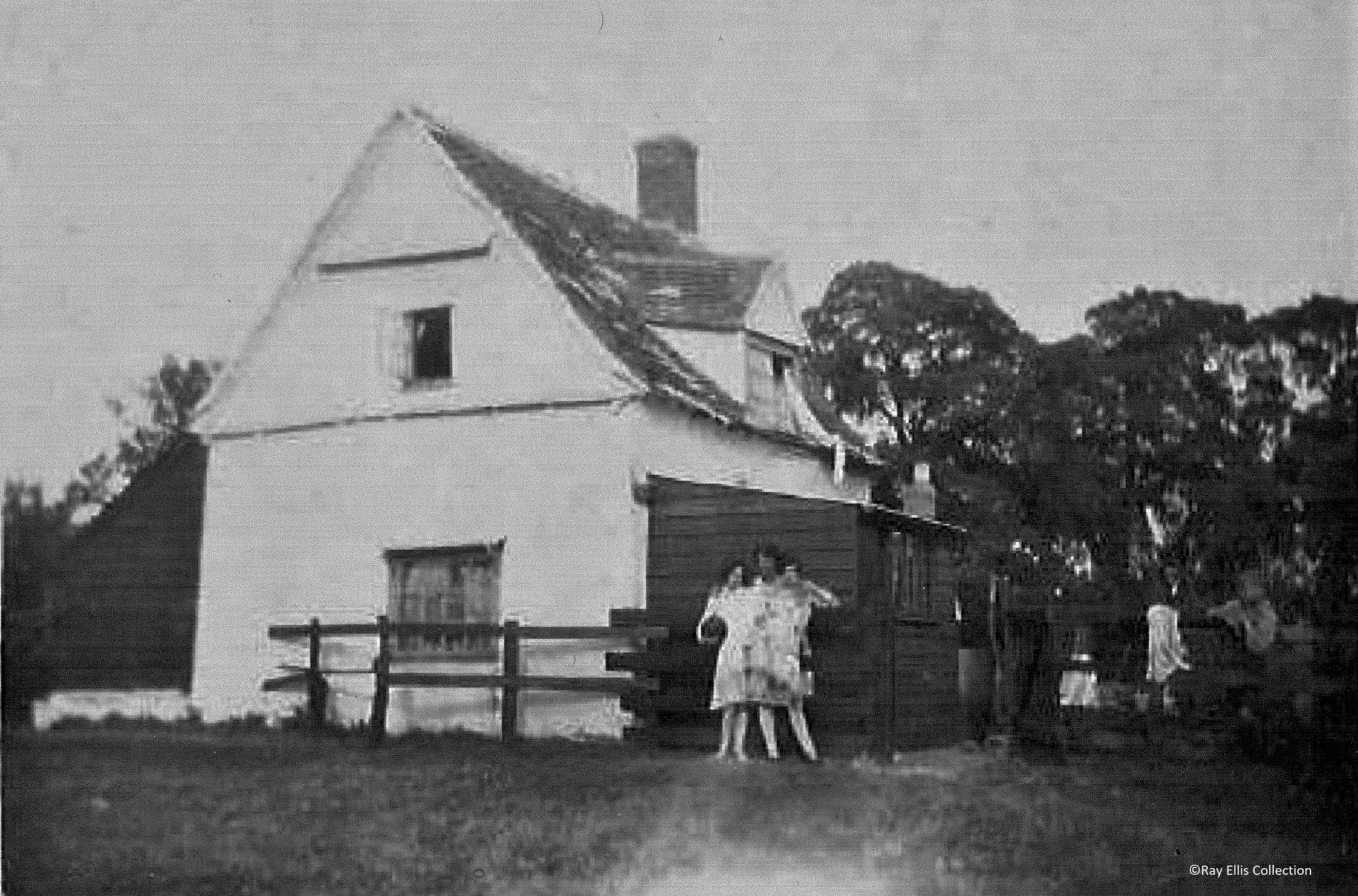
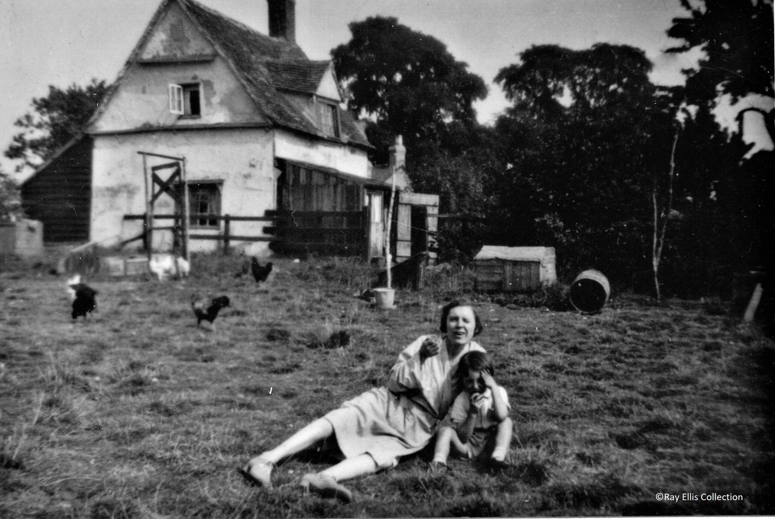
Ray’s original house, North Cottage.
North Cottage a few years later. This was later demolished to make way for a new building on the same site.
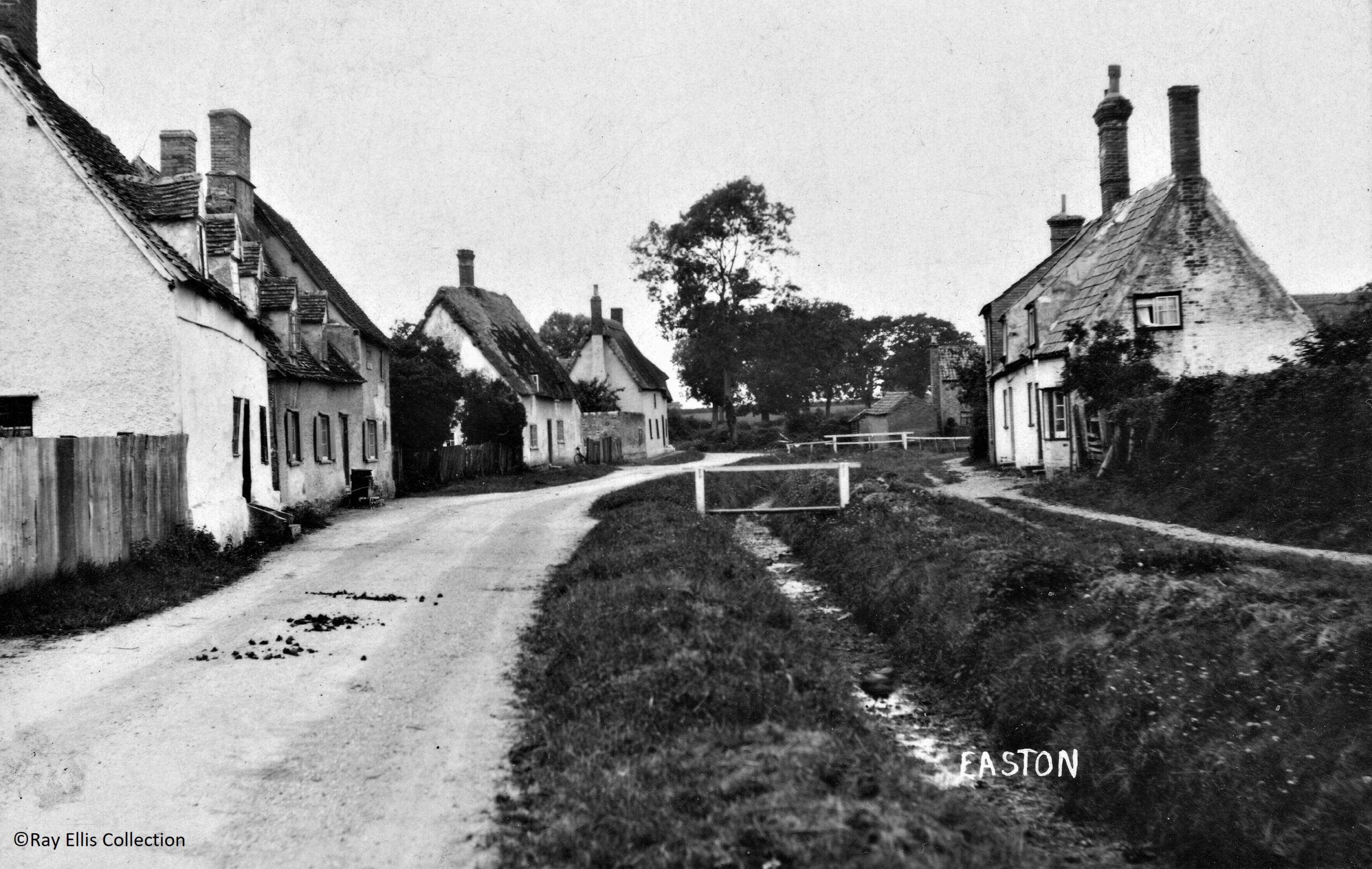
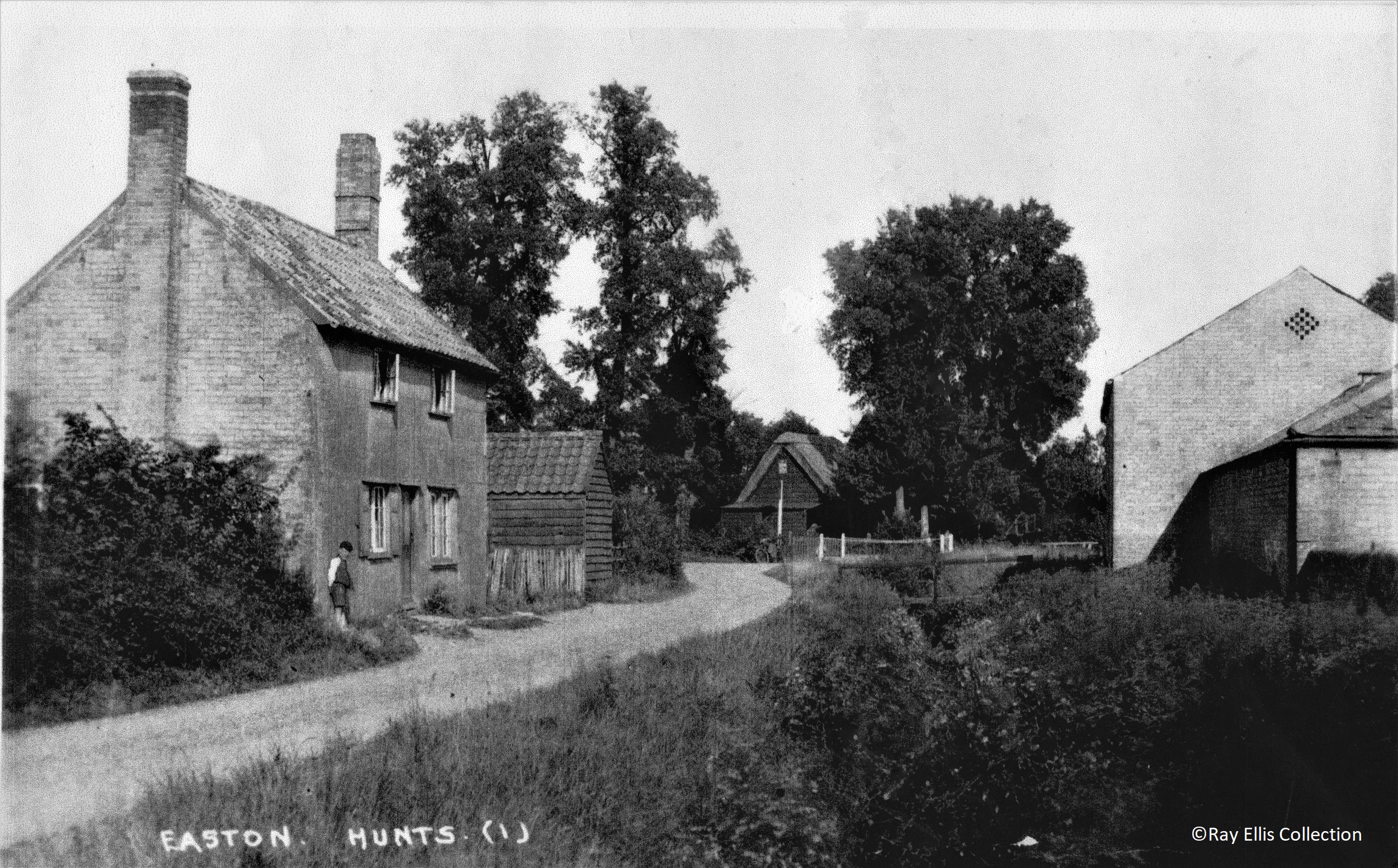
Church Road looking west possibly 1920-1930.
A similar view a few years later with telephone poles in evidence. The Sundial Cottages are on the right.
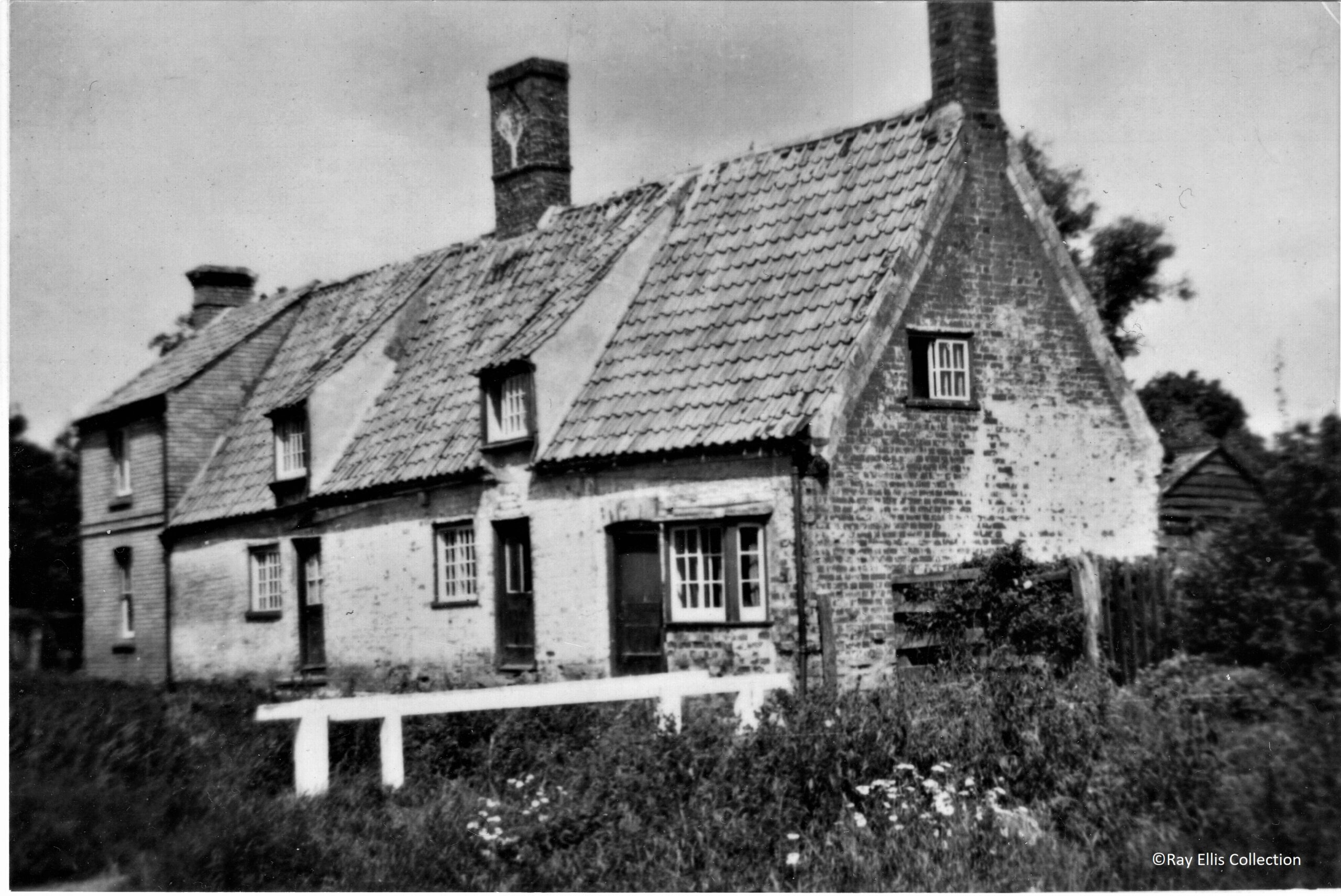
Closer view of the Sundial Cottages
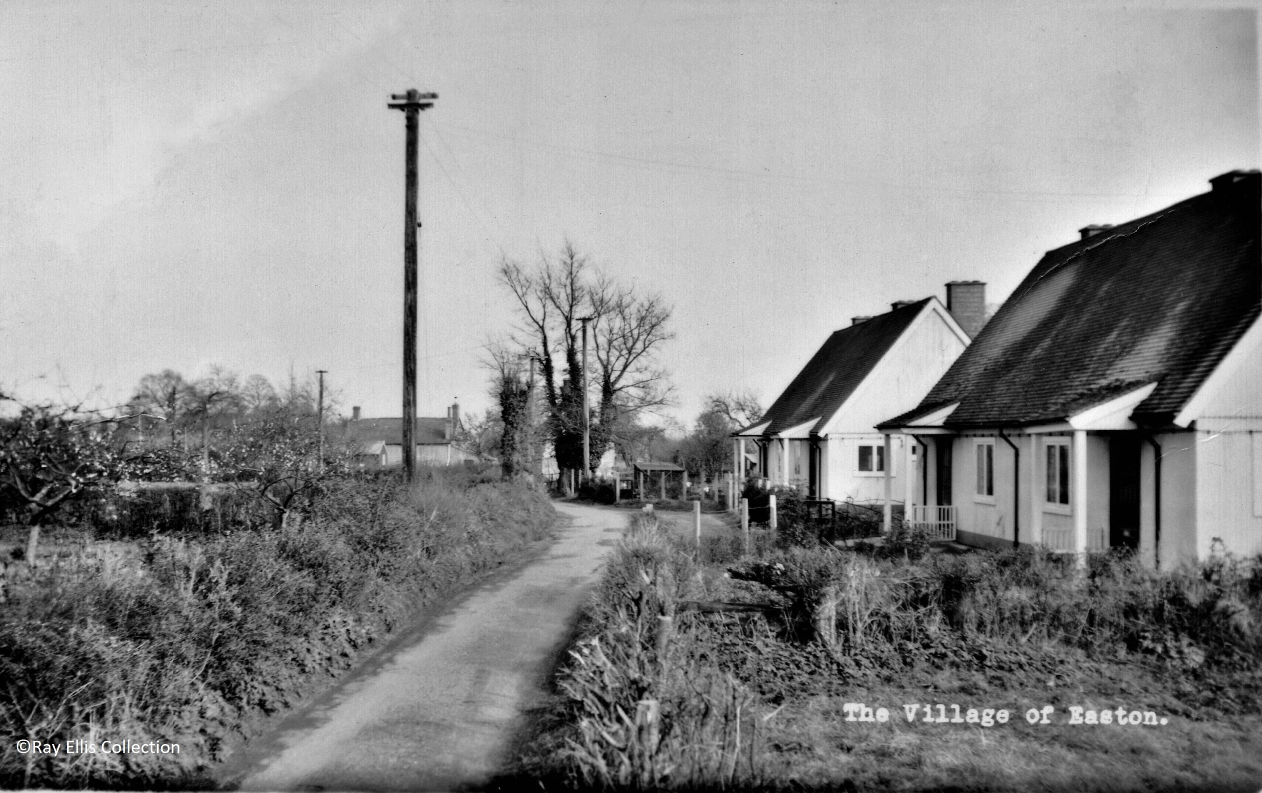
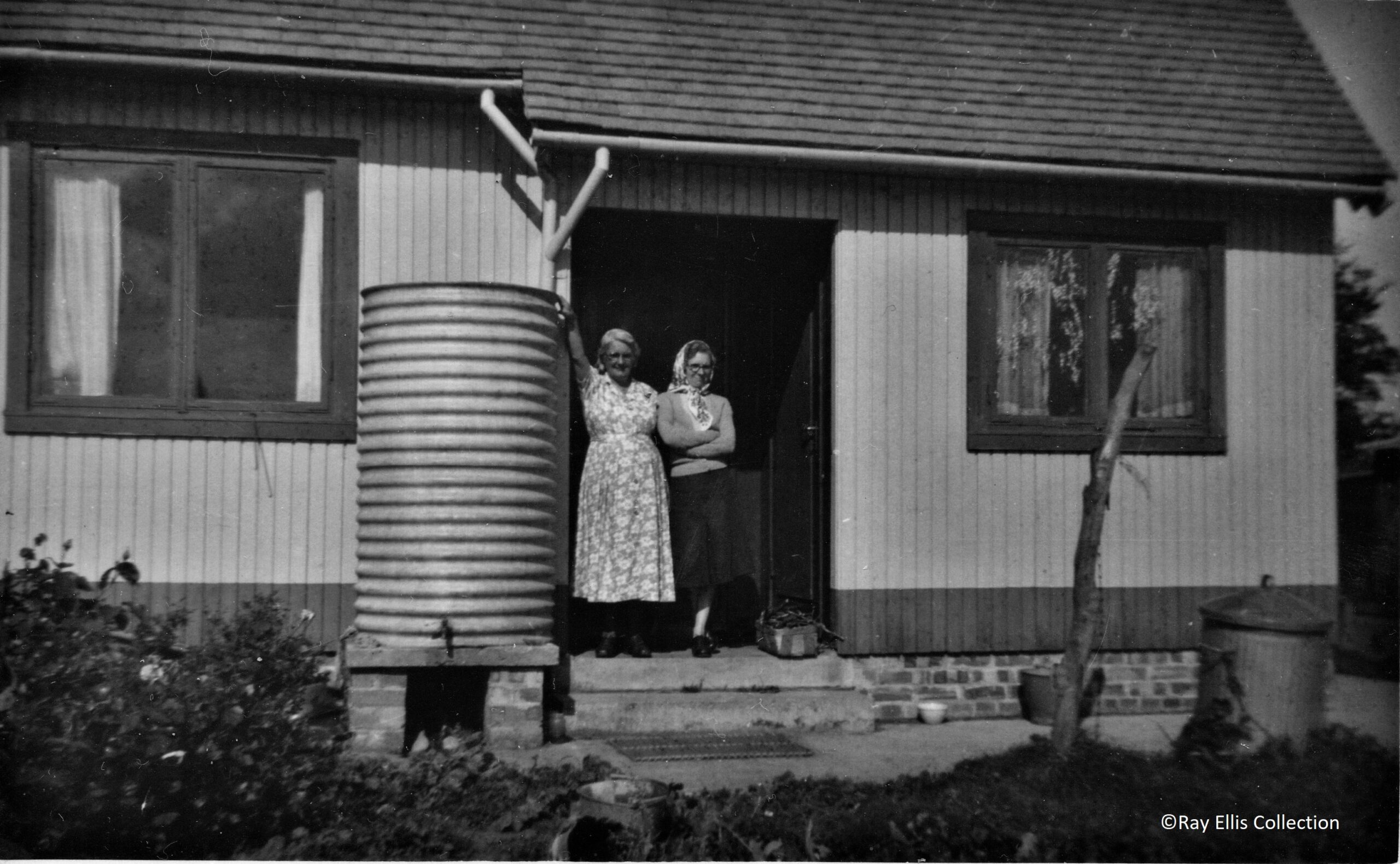
Bungalows in The Lane, approx 1950.
Swiss Cottages.
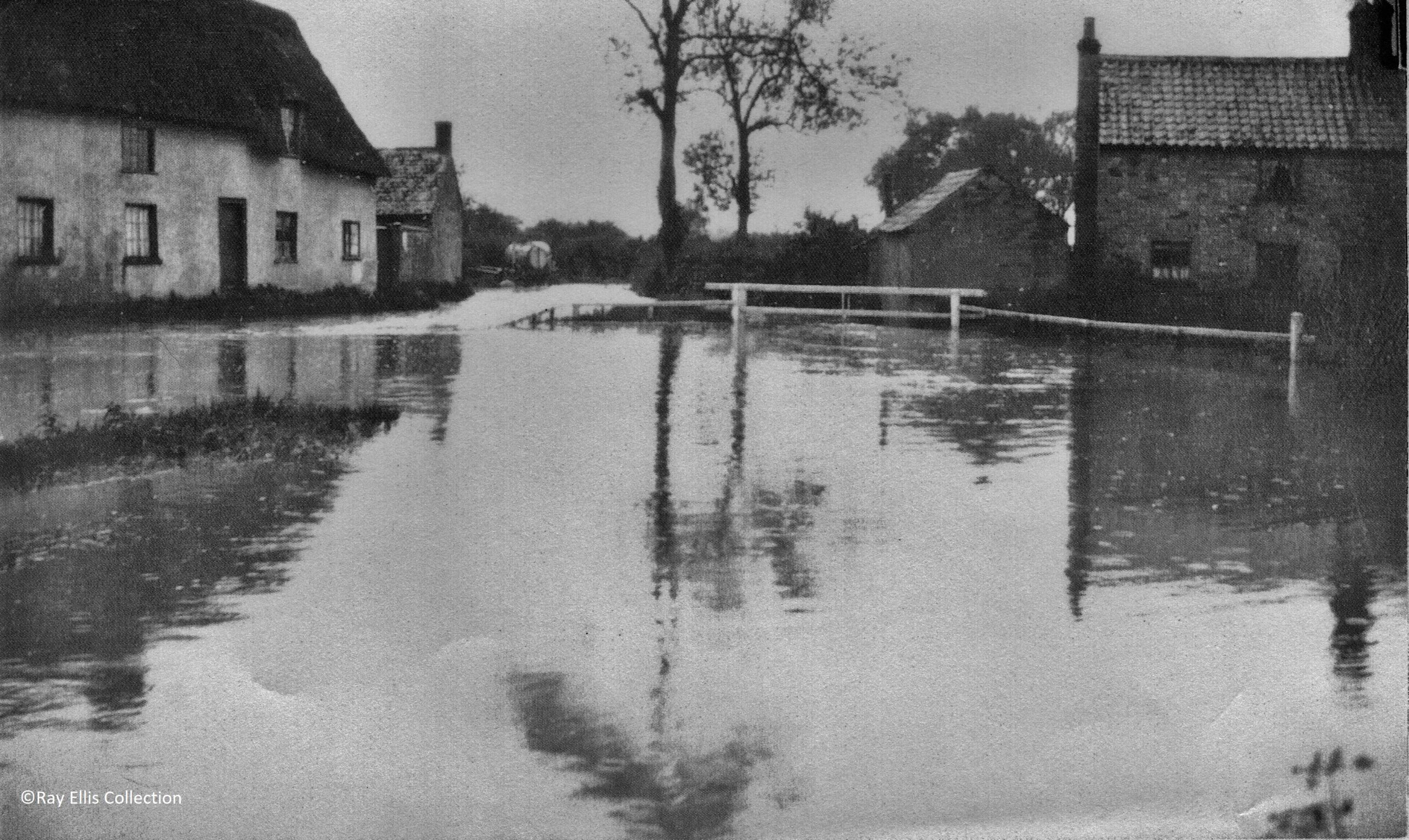
Flooding was not uncommon on the corner of Church Road and Chapel Lane.
Church Road looking west in 1984.
Church Road looking east in the 1930s, with the now demolished Brook Cottages on the left, and the Crown Pub straight ahead.
